Waterloo Station to Lower Hutt City Centre
Consultation on this stage of the project has concluded. Please keep an eye on this page for updates.
Update October 2023
Work on the Waterloo Station to city centre cycleway project has now been deferred due to changes with associated projects and recognising the need to minimise distruption as Riverlink construction gets underway. The team is grateful for the feedback provided by the community through the early engagement phases of the project.
We are still committed to making the streets around Te Awa Kairangi ki Tai Lower Hutt safe and connected for everyone, now, and in the future.
We are committed to making the streets around Te Awa Kairangi ki Tai Lower Hutt safe and connected for everyone, now, and in the future. When planning transport strategies for the city, our community told us that they would travel more by foot or by bike if they felt safer on the roads and they had a good quality, convenient and pleasant environment to travel along. As a city we are in the process of creating a network of 19 connections that will support more of our community to travel by foot or bike safely, gradually reduce our reliance on cars.
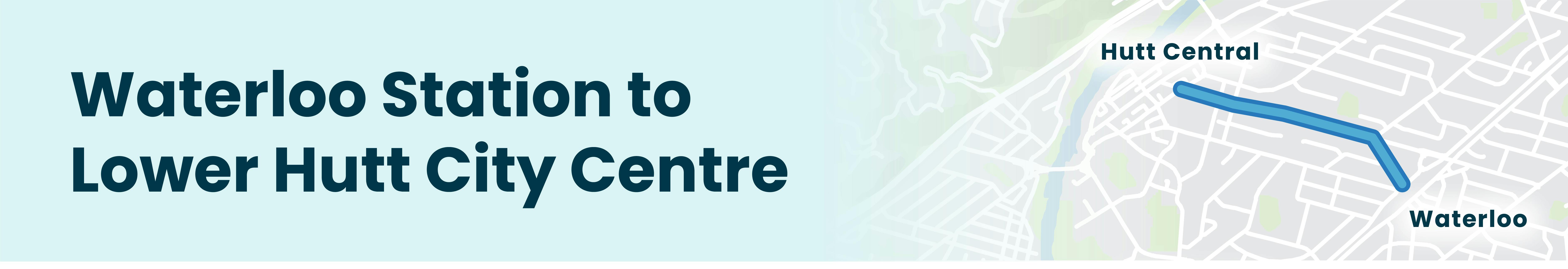
At this stage we are focused on the connection between Waterloo Station and Lower Hutt city centre. This provides an important link between the Oxford Terrace walking & bike path and Waterloo train station with businesses, retail, supermarkets, schools, the library and the planned Riverlink development.
Technical and safety aspects mean we are limited in options for bike lane routes. Specialists in this field sorted through a long list of options with these technical and safety features in mind and through this process ‘Waterloo Road and Birch Street’ has emerged as the preferred option. We now need community feedback to ensure this is the right route to meet everyone’s needs. We also want community feedback to plan the street layout.
This is the first big step in the bike network for the central city and a street many of our residents use frequently will change as part of this innovation so it's important that the community take part in the planning.
There is information below which outlines the process undertaken so far. We look forward to you joining the conversation!
Consultation was open until 26 June 2022.
We are hosting a community pop-in event on Sunday 19 June, 2 - 4pm at Chilton St James School. Come along and chat to the project team, ask questions and share your feedback for design and layout ideas.
Consultation on this stage of the project has concluded. Please keep an eye on this page for updates.
-
Narrowing down a preferred route...
Share Narrowing down a preferred route... on Facebook Share Narrowing down a preferred route... on X (formerly Twitter) Share Narrowing down a preferred route... on Linkedin Email Narrowing down a preferred route... linkAs well as undertaking technical assessments to check the practicalty of all possible routes, we worked with key stakeholders to talk about the opportunites and challenges of the different options.
Things that we looked at:
- traffic volumes
- number of intersections
- variety of transport options currently being used
- sites of cultural, heritage or environmental significance
- how would it intergrate with future projects like Riverlink
- location of underground services like water mains, storm and waste water pipes and electrical cables
- the route makes sence as a direct connection to where they want to go
- will the route encourage increased participation in activeContinue reading
Consultation on this stage of the project has concluded. Please keep an eye on this page for updates.
-
The Knights Road cycleway trial
Share The Knights Road cycleway trial on Facebook Share The Knights Road cycleway trial on X (formerly Twitter) Share The Knights Road cycleway trial on Linkedin Email The Knights Road cycleway trial link
In mid-2020 the cycleway trial along Knights Road (funded by Waka Kotahi) was approved to stay in place for 12 months, and, as advised, further technical assessments and engagement was undertaken during this time so we had sufficient information on hand before making a decision on a permament fixture.
What we learned from the trial was some signifcant challenges particularly around ease of use, how it interacted with intersections/side streets along the route and the condition of the road itself, which led to us considering alternate options.
Here's what we learned:
- Cyclists still found sharing the road with vehicles dangerous
- Continue reading
Consultation on this stage of the project has concluded. Please keep an eye on this page for updates.

