Knights Road Connection Project
Consultation has closed.

The Knights Road Connection Project came to completion in July 2021 when the Council made decisions about the next steps following two on-road trials. Find out more about what was decided here.
The Knights Road Connection Project was one of several pilot projects funded by Waka Kotahi NZ Transport Agency that aim to create more people-friendly spaces in our towns and cities. The Innovating Streets programme provides the resources and support for Councils to work with their communities to find solutions that work for the people that use the streets and spaces the most.
Creating streets and spaces thatContinue reading
The Knights Road Connection Project came to completion in July 2021 when the Council made decisions about the next steps following two on-road trials. Find out more about what was decided here.
The Knights Road Connection Project was one of several pilot projects funded by Waka Kotahi NZ Transport Agency that aim to create more people-friendly spaces in our towns and cities. The Innovating Streets programme provides the resources and support for Councils to work with their communities to find solutions that work for the people that use the streets and spaces the most.
Creating streets and spaces that are more people-friendly make it easier to choose active modes of transport. This is important because New Zealand has a goal of 40% mode shift towards active transport and public transport by 2030. Working towards this goal will reduce congestion, help to meet climate targets and improve health. It's a big shift in a short time, and so this iterative way of working allows solutions to be tested quickly and cost effectively in the real world by all affected road users while change to the layout can still be made.
The aim is for more people to feel comfortable using active non-motorised modes of transport (bikes, scooters, e-scooters etc) for some of their shorter, regular journeys, or for the last kilometre after public transport. This will reduce the congestion and pressure on off-road parking, freeing up space for people for whom active modes are not practical. For people to feel comfortable using active transport there needs to be a safe, convenient and connected network that goes to the places people need to go to.
We’re trialling a new road layout along Knights Road connecting Waterloo Station to the Lower Hutt CBD. The aim of the trial is to make the journey a safer and more attractive connection regardless of how you choose to get around.
The new layout will create better connections between the Lower Hutt CBD, local schools, homes and workplaces and the public transport and active transport facilities at Waterloo station. The purpose of trialling these changes on the road is so that everyone who uses the road can see and feel the new layouts while there is still the potential to change them. We want to hear what is working, and what is not.
Our vision
Our bold goal is to find, through temporary trials, a design that becomes an attractive, well used shared-mode connection between Waterloo Station and the Lower Hutt CBD. We want students from local schools, and staff at local businesses to use the new road layout for commuting, improving the experience of all those that use the route.
Through the trial we are working with road users to find a safer layout for all modes of transports. Children on bikes, people on e-scooters and people walking on the footpath should feel safe using thing key connection, creating real transport choice.
Why did we choose Knights Road?
In Lower Hutt and across Wellington there is a lot of investment in shared paths and off-road cycleways, such as the Wainuiomata Shared Pathway, the new Beltway route under construction, the increasingly popular Hutt River Trail and the Melling to Ngauranga cycleway. These types of facilities are generally seen as safe, and allow travel between local suburbs and are close to public transport. What is missing is connections between these key routes, at key points, to the places people want to go - especially schools, shopping areas and workplaces.
- Knights Road is the connecting road between the public transport hubs at Waterloo Station and Queensgate.
- It is the link between the new Beltway route and Lower Hutt's CBD.
- There are six local schools on or near by Knights Road, and congestion at pick up and drop off times is an issue for all of them.
- Speed data along Knights Road showed that an unacceptable number of vehicles are exceeding 50km/h and some are driving at very high speeds for an urban environment.
- It is a wide road with enough space to trial changes to the road layout.
On this basis, a Knights Road connection to improve the connectivity of existing and planned shared paths and cycleways was first proposed as part of an urban cycleways package that included the Wainuiomata Shared Path (completed 2019, the Beltway Cycleway and the Eastern Bays Shared Path.
What has happened so far?
First trial road layout
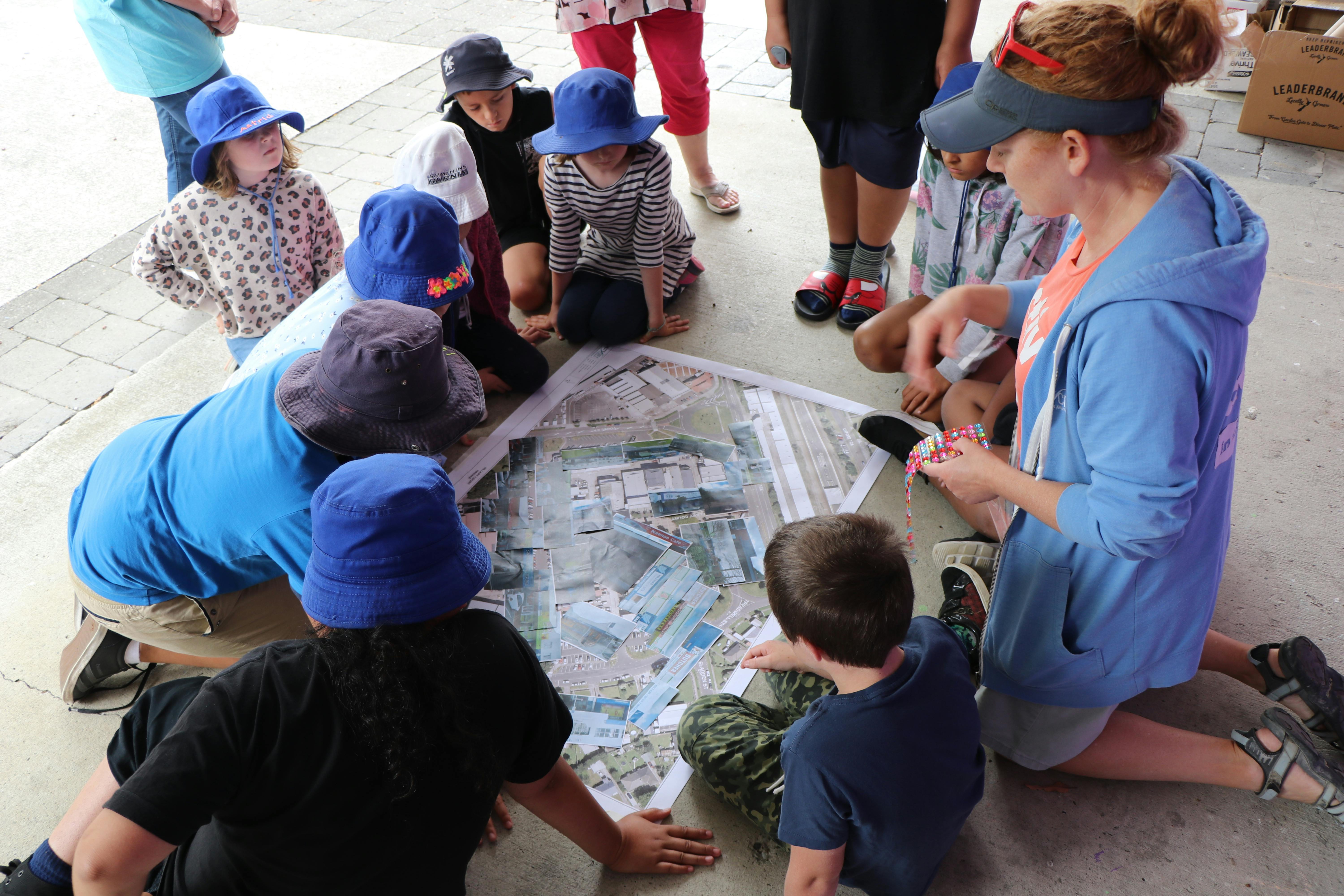
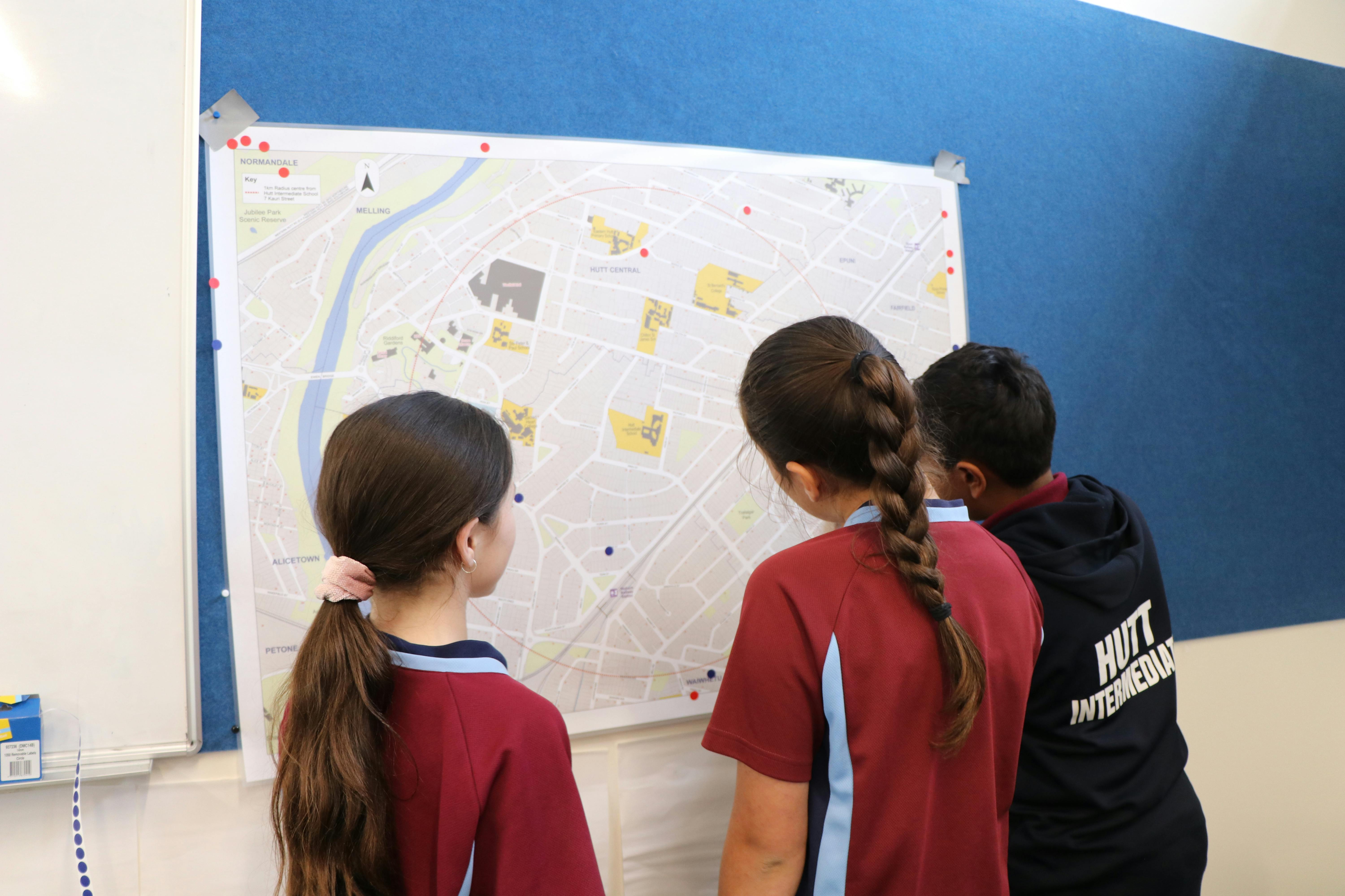
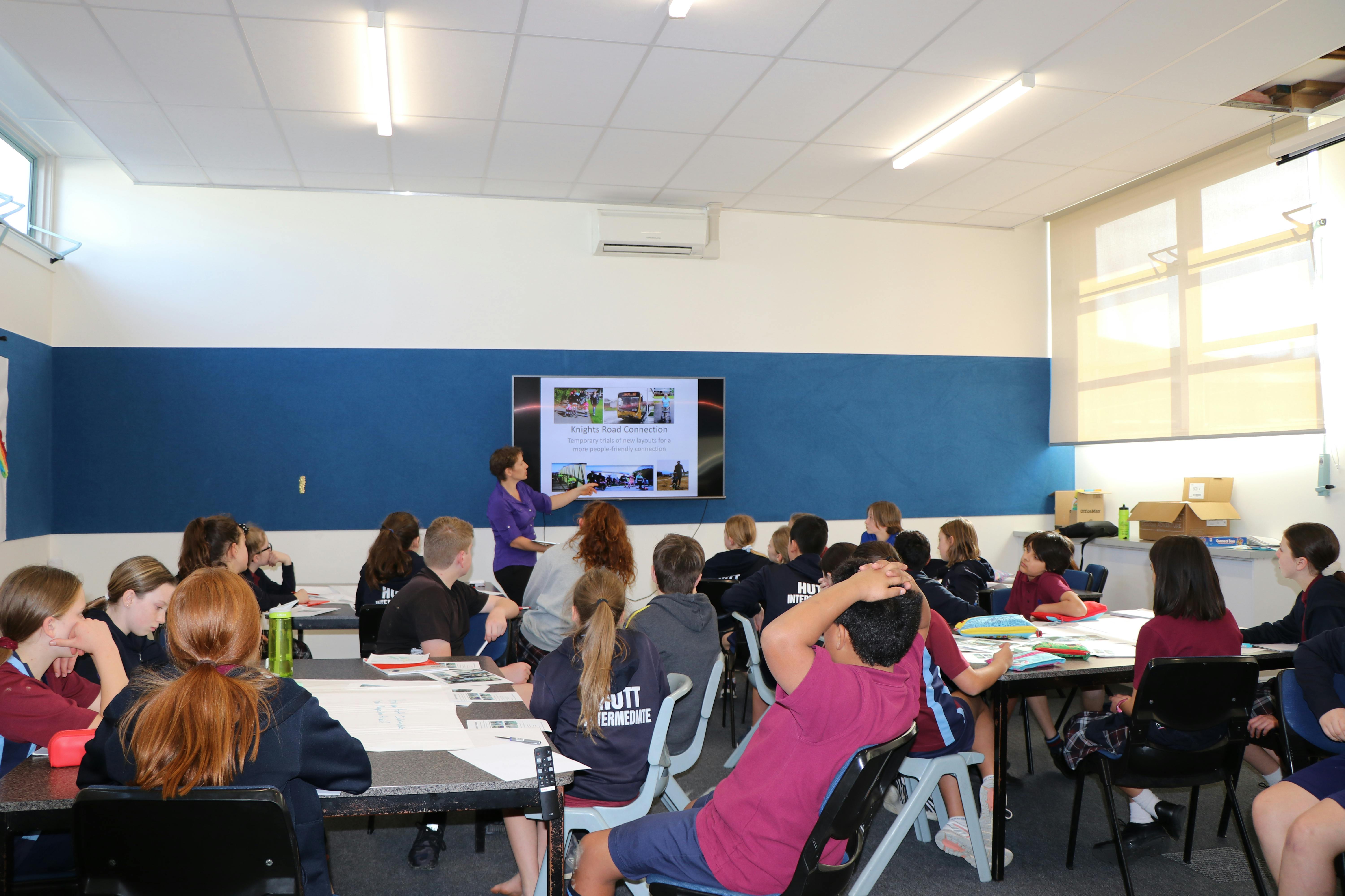
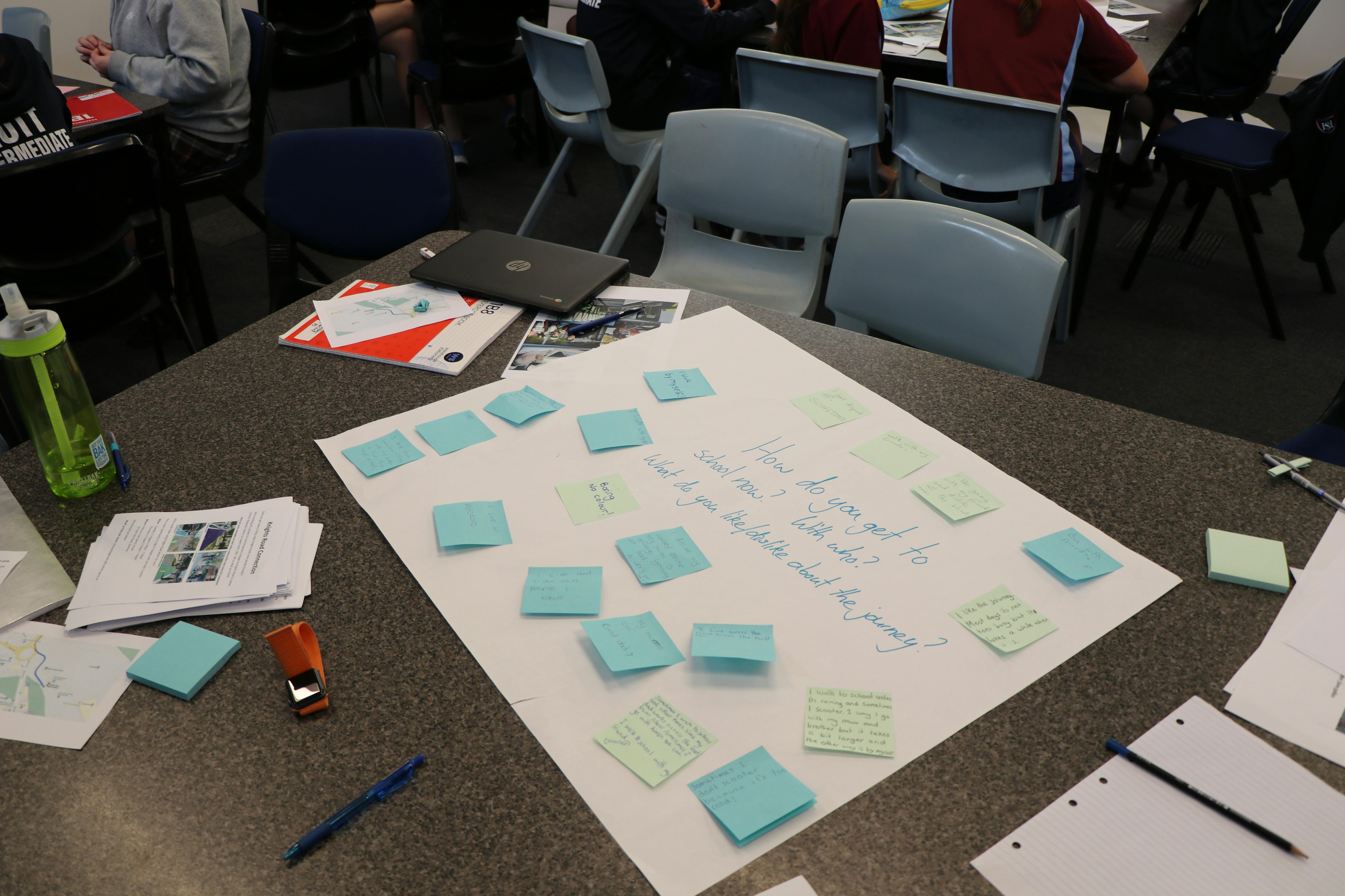
From July to October 2020, the Knights Road Connection project team ran a series of workshops and engagements with residents, schools and the local community to better understand their experiences on Knights Road, what is working well and what might need to change to make the connection work better for more people.
Based on the feedback we trialled a temporary road layout in Knights Road during March 2021. You can find out more about the results of that trial here or read the full report here


Amended trial road layout
Based on community feedback and data from the first trial, we are trialling an amended road layout. You can find out more about it here
How to get involved?
We are trialling the temporary changes in real time, using your recommendations to find the best solution for the space and the community. We need to hear from you about what works well and anything that isn’t working from the trial layout.
We'll be posting regular project updates, running surveys and Facebook polls, and collecting your ideas on how you want the space to work.
Thank you to the more than 300 of you who have filled in the online surveys. These are now closed, so that we can collate and understand your feedback. You can still share your ideas on the project page, attending a workshop or pop in session and/or emailing us.
Your feedback will be used alongside real-time traffic monitoring to help inform what might happen next.
-
CLOSED: This survey has concluded.96 responses
Community feedback asked for more spaces to sit, more art along the way, and so we’re will be creating a welcoming rest and picnic place to wait for buses, enjoy lunch from nearby businesses or meet friends.
There are two potential layout options - click vote now and tell us which you prefer!
Consultation has closed.
Share Rest area layout on Facebook Share Rest area layout on Twitter Share Rest area layout on Linkedin Email Rest area layout link -
From June to December 2020, there have been a series of activities to inform and engage stakeholders about this project. These have included: four rounds of letter drops, five public community workshops or displays, meetings with key stakeholders, engagement with schools, walking audits, the development of the pop-up park at Birch St, and the development of communications channels, including facebook.
These engagements have changed the initial concept being trialled significantly, and broadened the scope of the trial to include the intersections in front of Waterloo Station.
With the first temporary trial currently being installed, we are now hearing from people who have not engaged to date. We are about to begin the next round of feedback and engagement about the first trial, what works, what doesn't.
The purpose of this Communicating with You survey is gain feedback on how we have engaged to date and get your feedback on the methods we are planning to use to engage with the community moving forward in order to improve and make sure it is possible for everyone to have their say.
Please click on the blue Communicating with You writing to have your say
Consultation has closed.
Share Communicating with you on Facebook Share Communicating with you on Twitter Share Communicating with you on Linkedin Email Communicating with you link
Documents
-
 20 July 2021 - Infrastructure and Regulatory Committee Report (18.5 MB) (pdf)
-
 April 2021 - Report on March trial - engagement and feedback (4.61 MB) (pdf)
-
 7 March 2021 - Answers to questions from residents (695 KB) (pdf)
-
 7 March 2021 - Presentation for residents (2.34 MB) (pdf)
-
 7 March 2021 - Resident workshop (flipchart images) (3.01 MB) (pdf)
-
 7 March 2021 - Resident workshop (flipchart transcript) (241 KB) (pdf)
-
 March 2021 - Workshop flyer.pdf (575 KB) (pdf)
-
 28 February 2021 - Resident workshop flyer (84.9 KB) (pdf)
-
 23 February 2021 - Project overview (brochure) (675 KB) (pdf)
-
 10 February 2021 - Letter to residents (51.4 KB) (docx)
-
 27 January 2021 - Letter to residents (196 KB) (docx)
-
 4 December 2020 - Handout flyer (531 KB) (pdf)
-
 19 November 2020 - Pop-up Park Celebration Invite (615 KB) (pdf)
-
 2020 - Invitation (workshops) (606 KB) (pdf)
-
 23 June 2020 - Letter to Knights Road residents (274 KB) (pdf)
-
 Letter drop plan (map) (916 KB) (pdf)
-
 2020 - Audit (obsolete) (2.72 MB) (pdf)
Stay up to date


04 570 6666
auahaevolvingspaces@huttcity.govt.nz
Key Dates
-
July → September 2020
-
October → December 2020
-
26 February 2021
-
February → March 2021
-
20 May 2021
-
April → June 2021
Photo gallery
FAQs
- What is this project about?
- Why did Council apply for this funding?
- Why Knights Road?
- How does this fit with longer term plans?
- Who is paying for this project?
- What type of changes may be considered?
- How long could the changes be in place?
- Why are the changes only temporary?
- Is this happening in other places around New Zealand?
- Why spend money on temporary changes?
- How does this link with the wider Hutt City Council transport plan?
- Why focus on the Waterloo end of Knights Road?
- How will this connect with the Beltway Cycleway and Waterloo Station?
- What happens after the trial?
Travel surveys 2020
These surveys were live in terms 3 and 4 2020, asking about parents and students about transport to school. We would welcome more responses to these surveys - but some of the questions included are now obsolete. While the first trial is live, schools are measuring transport modes with their students, and we are also measuring directly on the roads.
Students
Do you go to school in Lower Hutt? Fill out our students survey to tell us how you travel to and from school. The survey is open to all students in years 7-13 who go to school in Lower Hutt.
Parents
Are you a parent or guardian with kids at school in Lower Hutt? Fill out our parents travel survey to tell us how your kids travel to and from school.


